 Cloud-Native Geospatial Pacific webinar
Wei Ji Leong
![]()
![]()
![]()
![]()
![]()
Kia Ora 👋
I am a Geospatial Data Scientist from Malaysia 🇲🇾 working remotely and thinking about where to go next! My background is in Geography, with a particular interest in Earth Observation using satellites 🛰️, having done cool research on Antarctic ice dynamics during my PhD in Aotearoa/New Zealand 🥝. Specifically, I work on applying Deep Learning methods to Remote Sensing datasets, keeping busy on the leading edge of data-driven research in the Earth Sciences.
These are some of the hats I wear:
- ☁️ Machine Learning Engineer in the GeoAI team at Development Seed
- 🌏 Core Developer of PyGMT: A Pythonic Interface to the Generic Mapping Tools
I'm currently:
- 🦀 Learning Rust, and trying to get into the GeoRust ecosystem
- ☯️ Developing a Python package called zen3geo for building Earth Observation and geospatial data pipelines
- 🔭 Making open source contributions to the Pytorch ecosystem and Pangeo community, all in the PyData world!
Want to connect?
- 💻 I'm open to building partnerships with folks working on open geospatial tools, specifically with a Remote Sensing focus, so reach out!
- 📫 Track me on Mastodon as @weiji14, or find some other links on my website
- 👀 Be sure to check out my cool Computer Vision projects:
- DeepBedMap - Super Resolution Generative Adversarial Network to resolve the bed topography of Antarctica
- DeepIceDrain - Finding subglacial lakes using unsupervised DBSCAN clustering
- DeepSlide - Self-supervised learning on SAR data for change detection, for the FDL2022 NASA Earth Science challenge
- Crevasse detection and navigation - Done using Image Segmentation + Reinforcement Learning
- S2S2Net - Sentinel-2 Super-Resolution Segmentation Network using a Vision Transformer model (SegFormer)
⚡ Fun fact: I was brought up trilingual, and am fluent in English, 中文 & Bahasa Melayu.
Portfolio
 PangeoML Ecosystem 2023 talk
 DeepSlide AGU 2022 talk
 AGU 2022 conference poster for h2oval
 zen3geo PangeoML talk
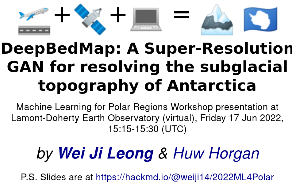 DeepBedMap ML4Polar talk
 Crafting beautiful maps with PyGMT short course
 Teaching machines about our planet seminar talk
![]() ICESat-2 Hackweek Data Visualization tutorial
ICESat-2 Hackweek Data Visualization tutorial
 AGU 2021 conference poster on subglacial lakes
 PyGMT ESWN Professional Development Workshop
 PhD thesis on subglacial Antarctica
 NZASC 2021 conference poster
 DeepBedMap paper on The Cryosphere
 PyGMT FOSS4G Oceania workshop